Start
Photographs
→
B
|
D
|
DK
|
E
|
F
|
GB
|
GBZ
|
N
|
NL
|
NZ
|
S
|
USA
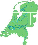
Lighthouse Locator – please select an area on the map:
Netherlands
>
Noord-Holland, Friesland
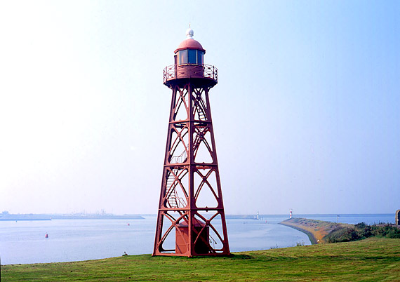
> Den Oever
52° 56' N | 005° 02' E
B 0879
Lighthouse Data
Operational
1892-1929, 1930-
Height of focal plane above MHWS
16 m
Height of structure
14 m
Range
White
10 sm
Red
7 sm
Green
7 sm
Characteristic
Iso WRG 5 sec
© 1999-2023 by Leuchttuerme.net | M. & M. Werning