Start
Photographs
→
B
|
D
|
DK
|
E
|
F
|
GB
|
GBZ
|
N
|
NL
|
NZ
|
S
|
USA
Lighthouse Locator – please select an area on the map:
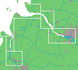
Detailausschnitt
Elbe
und
Weser
:
Verlorene Leuchttürme
Baken und Kapen
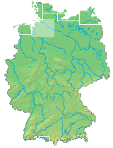
Germany
>
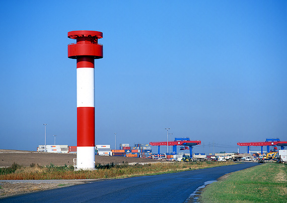
Elbe (km 657-609)
> Altenwerder
(Unterfeuer)
53° 30' N | 009° 57' E
B 1594.65
Lighthouse Data
Operational
1999-
Height of focal plane above MHWS
25 m
Height of structure
25 m
Range
White
7 sm
Characteristic
Iso W 4 sec
© 1999-2023 by Leuchttuerme.net | M. & M. Werning